GroundCAD

Software screenshot:
GroundCAD
Dettagli del software:
Versione: 0.3
Data di caricamento: 19 Sep 15
Sviluppatore: GroundCAD
Licenza: Libero
Popolarità: 78
Dimensione: 1310 Kb

Rating: 5.0/5 (Total Votes: 1)

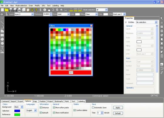
GroundCAD è un software CAD 2D per il rilevamento del territorio e ingegneria civile.
funziona su Windows XP / 7/8, Linux e Mac OS.
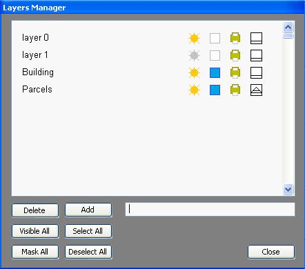
GroundCAD ha una semplice interfaccia grafica per garantire la velocità, la semplicità
e l'efficienza.
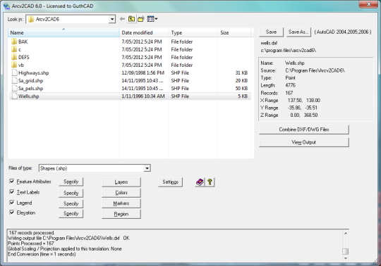
GroundCAD supporta molti formati standard come:
File ASCII (txt / csv)
Autodesk dxf (ascii R12)
Leica (GSI 8/16)
Sokkia (SDR33)
Topcon (FC4 / gts7 / xml / LandXML)
Google (kml) ...

Limitazioni :

versione completa gratuita

Screenshots

groundcad_1_186852.jpg

Sistemi operativi supportati

Programmi simili

PackmageCAD
PackmageCAD

27 Jan 15

CDR Viewer Tool
CDR Viewer Tool

26 Apr 16

RecoverM8 Portable
RecoverM8 Portable

26 Jan 15

Easy CAD Viewer
Easy CAD Viewer

8 Dec 14

Commenti a GroundCAD

I commenti non trovato
Aggiungi commento
Accendere le immagini!